
Case in point is my blog post from Monday, "Spring Break Guilty Pleasures," in which I wrote:
How about a few days of mountain biking, river running, hiking, canyoneering, or rock climbing in the canyonlands of southern Utah? No problemo. Head south later this week for an extended three day weekend. A huge ridge is building in and by Sunday it is parked over St. George. Oooh, I can feel and see those red, sunburned winter bodies already.That forecast isn't terrible as yes a ridge is building in and I expect to see some sunburns on Monday, but the weather on Saturday doesn't look quite as nice as I would have anticipated on Monday. As shown in the 114 hour GFS forecast valid midnight tonight, the ridge was forecast to dominate the weather over Utah with only a weak short-wave trough over western Montana. As a result, dry weather and no significant weather systems were forecast over Utah.

In the latest model runs, there's still a ridge, but the short-wave trough is much stronger and extends down into the Great Basin. As a result, cooler air moves into the state later today and tonight with some light precipitation over northern Utah.
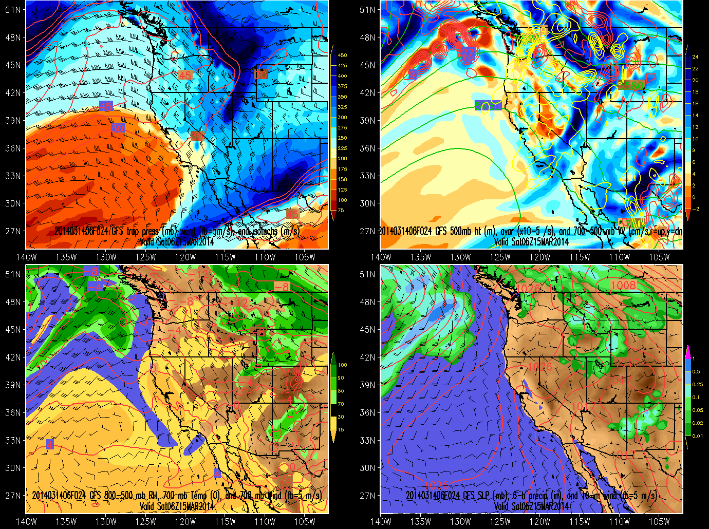
Thus, things will be cooler tomorrow than I anticipated on Monday. As forecasts busts go, this isn't a big one, but it shows how a smaller scale weather feature can derail a forecast that is otherwise fairly good with regards to larger-scale weather features. It also illustrates why ensemble forecast systems can be important to consult to get a handle on the forecast uncertainty, although in this instance, I don't recall any members suggesting such a strong short-wave trough moving over and through the ridge. Perhaps one of you out there with a subscription that allows access to the ECMWF ensemble modeling system can comment on whether or not the gold-standard of weather forecasting provided helpful guidance in its forecasts on Monday.
EC started showing this shortwave digging deep enough with its 00z Tuesday run. Before the GFS came on board in its Tuesday 06z run. From NWS' tuesday AM discussion:
ReplyDeleteA WEAK SYSTEM WILL MOVE THROUGH NORTHERN UTAH SATURDAY...BRINGING
LIGHT PRECIP TO THE NORTHERN MOUNTAINS. THOUGH THERE ARE DIFFERENCES
IN DETAILS...BOTH THE GFS AND EC AGREE THAT THIS SATURDAY SYSTEM
WILL BRING PRECIP TO NORTHERN UTAH...AND SO INCREASED MOUNTAIN POPS
ON SATURDAY.
Yup, but going for it on Monday as I did was still a case of irrational exuberance on a 5 day forecast. Of course, it is spectacular today and should be on Sunday as well.
Delete