
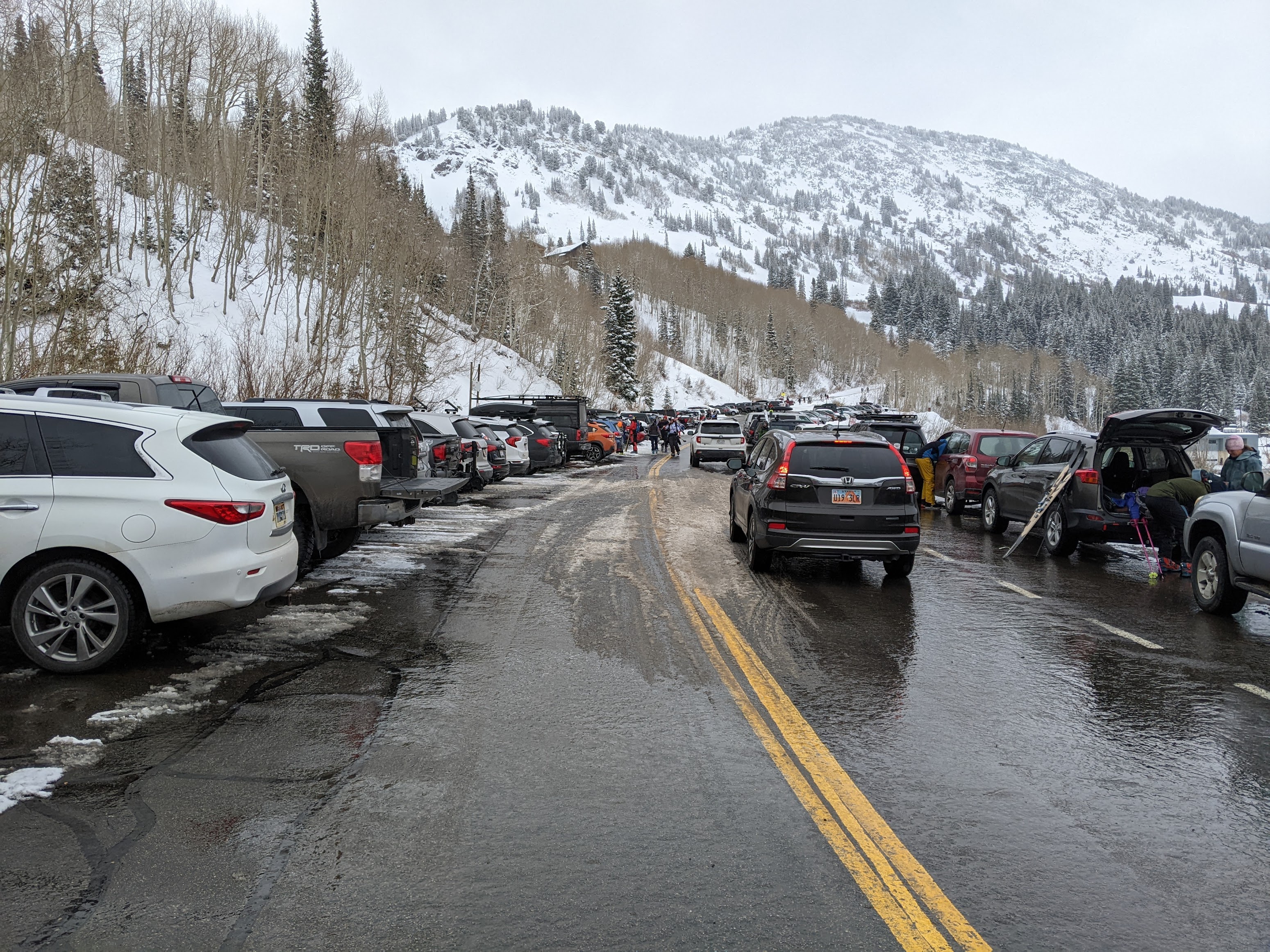
This post is dedicated to everyone who came out to break trail for me today. So many people turned out. Your dedication and efforts are greatly appreciated. I need all the help I can get at my advanced age.
If you happened to be one of those ski tourers in upper Little Cottonwood today, you may have experienced drizzle (below the freezing level) or freezing drizzle (above the freezing level). Let's take a look at what these are and how they form.
Drizzle is a form of liquid precipitation comprised of small water droplets. Scientifically, drizzle droplets are larger than 100 nanometers and less than 0.5 mm in diameter. If the droplets are smaller than 100 nanometers, they are cloud droplets. If they are more than 0.5 mm they are rain droplets.
Freezing drizzle is drizzle that freezes on impact with the ground or other objects. It occurs when drizzle forms and collides with the ground or other objects at temperatures below 0˚C. In such conditions, the drizzle drops are supercooled, meaning they exist as liquid water at temperatures below 0˚C.
Somewhat related to freezing drizzle is rime, the white icy deposit when supercooled cloud or drizzle drops collide with the ground or other objects like trees, structures, or your goggles. On my descent at about 1 PM, I used my thumb several times to scrape the rime off my googles that formed as I skied through the freezing drizzle.
Drizzle or freezing drizzle typically forms in shallow stratocumulus or altocumulus clouds. A few large droplets form typically near cloud top, turbulence allows them to collide and merge with other droplets, and grow into drizzle drops that can fall out of the cloud. The process of droplets colliding and merging is called collision-coalescence. This can occur in clouds that are entirely above freezing (i.e., > 0˚C) or in clouds that have temperatures reaching as low as about -10˚C. In the case of the latter, freezing drizzle occurs at altitudes where temperatures are at or below 0˚C.
Critical for the formation of freezing drizzle is the existence of supercooled water droplets. These supercooled water droplets can exist because water does not necessarily freeze at or below "freezing." Between -40˚C and 0˚C water needs what is known as an ice nucleus or ice nucleating particle to catalyze the ice formation process. Ice nucleating particles include some forms of clay and some types of bacteria. For instance, snowmakers often use an additive known as Snowmax, a microbe that helps water freeze. Just below 0˚C, water needs a particle with a structure very similar to ice to freeze. But as the temperature decreases, a greater diversity of particles can initiate freezing. At -40˚C, water will freeze whether or not it has an ice nucleating particle.
Getting water to freeze in a puddle or a lake isn't a problem because there are all sorts of particles in a large volume of water to initiate freezing. But in a tiny cloud droplet, the odds it contains an ice nucleating particle is very very low, especially at temperatures just below 0˚C.
I think the freezing drizzle produced this afternoon in upper Little Cottonwood was produced in relatively shallow clouds that were draped over upper-elevation ridges. You can see these shallow clouds in upper Albion Basin. Note that they appear to be somewhat decoupled from the higher clouds aloft.

I noticed the drizzle around 1 PM. At that time, temperatures at 10,500 feet within those clouds were around -4˚C. At such temperatures, there are very few ice nucleating particles. Most of the cloud droplets are supercooled and with a little turbulence, one can develop freezing drizzle.
If, however, the clouds extend to altitudes where temperatures are near or below -10˚C, there are usually enough ice nucleating particles to freeze some of the water droplets. When this happens, some of those droplets will shatter as they freeze, producing many ice particles. This process is known as ice multiplication and it allows the cloud with cloud top temperatures below -10˚C to contain a stew of ice and supercooled liquid water particles. Typically in such a cloud, the ice particles grow more rapidly than the cloud droplets (I'll avoid talking about why this occurs as this is already a long post) and this short-circuits the drizzle formation process. You either don't get any precipitation or you get snow.
A curious aspect of our tour today is that it was snowing when we arrived at about 9:15, so something changed between then and about 1 PM when the freezing drizzle formed. One possibility is that at 9:15, the cloud was deeper, with cloud top temperatures below -10˚C, or the snow was being produced in a cloud layer aloft and falling through the lower clouds. I don't have sufficient observations to evaluate these hypotheses. Often our routine weather observations do not allow us to adequately probe the mysteries of cloud microphysical processes.
This is really interesting! Thanks for taking the time to explain what is happening.
ReplyDeleteAs a pilot I appreciate your breakdown. Rime is nasty
ReplyDeleteWhy do you do your posts in Celsius? Pretty annoying seeing how we live utah...not the alps
ReplyDeleteThis is really an issue of time.
DeleteThere are only three countries that do not use the metric system. The US, Liberia, and Burma. Behind the scenes, nearly everything we do in meteorology is in celsius (or in a few cases, Kelvin).
When it comes to precipitation processes, including freezing drizzle and ice nucleation processes, all of my understanding is based on celsius. Converting takes time and I don't have a lot of time to squeeze off these blog posts. I recognize that this is an issue for some readers. I do sometimes use F or miles per hour (or knots) where the data is readily available in those units.