
Record Cold Crest-Level Temperatures
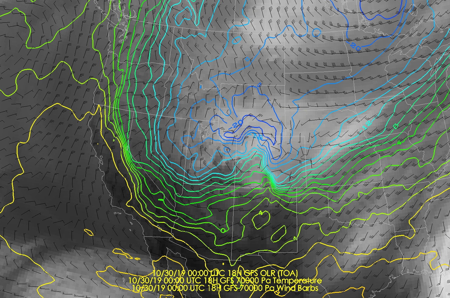
Forecast 700-mb temperatures for Salt Lake City at 0000 UTC 30 October (1800 MDT Today) are -17.7˚C by the NAM and -18.1˚C by the GFS. These are slightly higher than advertised a few days ago, but will still represent records in the upper-air sounding record for the month of October.
Record Cold Surface Temperatures
The NWS forecast of 13˚F for tomorrow (Wednesday) morning would be the lowest temperature ever recorded at the Salt Lake City International Airport in October. I haven't bothered to see what the records are elsewhere, but the current forecast (image grabbed at 7:30 AM MDT Tuesday 29 October) calls for -11˚F in Randolph and, gasp, 24˚F in St. George.

Snow
Yeah, it's happening today. Monitor forecasts. 'Nuff said as I don't have time for a proper forecast.
Back-Door Cold Front
In weather and war, bad things come from the east. If you think it is cold now, the HRRR is advertising the passage of a so-called back-door cold front across the Wasatch Front this afternoon. A back-door cold front is one that comes from the east rather than the west or northwest. The HRRR forecast valid 2100 UTC (1400 MDT) this afternoon shows the front with a precipitation band just to the west and south of the Great Salt Lake. This front is not approaching from the west, but rather it passed through the Wasatch Front from the east.

Downslope Wind Misery
This afternoon has the very real potential to be the most miserable October afternoon ever along portions of the northern Wasatch Front. In the wake of the back-door cold front are easterly downslope winds.

So, we're talking the coldest October airmass ever, with strong winds. Excuse my sarcasm, but it's going to be really cold, but at least it's going to be windy too!
Crest-Level Whiplash
As remarkable as this cold air is, the rebound to warmer air, at least in the mountains, is also amazing.
The GFS forecast valid 0000 UTC 30 October (1800 MDT Today/Tuesday) calls for 700-mb (crest-level) temperatures of -18˚C over Salt Lake City. However, the warm air moves in quickly aloft and by 1200 UTC (0600 MDT) Thursday/Halloween, they have climbed all the way to -1˚C.

Late October Inversion
This is a hypothesis worth checking, but the result of that warming aloft will probably be one of the strongest, deepest inversions on record on Halloween. The word inversion is often used in Utah to mean pollution, but here I'm referring to the temperature inversion that will develop over northern Utah as that warm air moves in aloft.
Forecast soundings from the NAM show a surface-based inversion at 1200 UTC (0600 MDT) Thursday/Halloween morning with surface temperatures near -9˚C, whereas temperatures at 675 mb are around -3˚C.


Probably not an issue for Halloween (Thursday). I suspect there will be haze around, but air quality should be "good" or at worst low moderate at worst since we will have just flushed the valley with a pristine arctic airmass. Another brush by system on Friday should ensure that we don't start the inversion season with a major air pollution event.
Conclusion
Beware when the atmosphere is in outlier mode. That's my go-to phrase this fall.
What's the criteria for a wind chill advisory? Davis County seems like it should be close tonight with 10F temperatures and downslope winds of 40+ mph.
ReplyDeleteIt varies by location. I'm not sure what is used by the Salt Lake Forecast Office.
DeletePerhaps the more important thing isn't the numeric threshold, but the impact. Wind chill advisories are issued when the wind chill is low enough to pose a threat to human health if adequate protection is not taken. In my view, for the homeless, this is a very serious cold blast.
Jim
I was afraid of there being several inches of snow in the valley, which would have made things far worse in terms of minimum temperatures and inversion potential. As it is, I hope the lack of valley snow might keep the temps up slightly from those forecast and result in only a moderate inversion.
ReplyDelete