The northern mountains continue to be the big winners in this storm. Another 1.43 inches of SWE fell in the past 24 hours at Snowbasin-Middle Bowl, bringing their storm total to just over 3.5 inches. It looks downright wintery on the Needles Lodge web cam.
 |
| Source: Snowbasin |
The snow depth at the Ben Lomond Peak SNOTEL hit 18 inches this morning, not bad considering the early snowfall has probably settled out some. The Monte Cristo SNOTEL is down to 28", but again, given the ongoing settlement, that's a pretty healthy number. I suspect the early season turns are quite good in the upper elevations of the northern Wasatch and Powder Mountain area, especially at or above 8000 feet.
Snowfall in the Cottonwoods has been more limited, but they did pick up some this morning. Alta-Collins had a 8" snowdepth at 8 am MDT, roughly consistent with the Snowbird web cam.
 |
| Source: Snowbird |
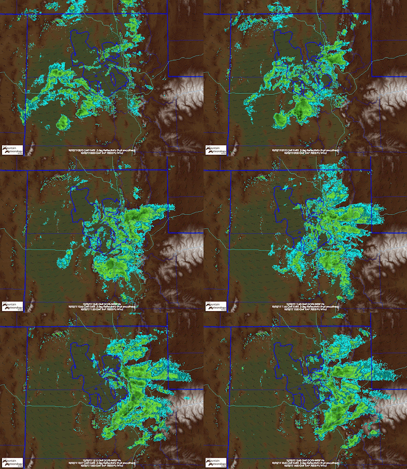
We have about a 12-hour window left for snow, but much depends on that great wildcard – the Great Salt Lake. The loop below (click to enlarge), shows snow showers moving through the Wasatch Front this morning along with a 700-mb trough.
For the most part, those snow showers were not generated by the Great Salt Lake, but were simply associated with the 700-mb trough that was moving across northern Utah. We'll see some additional scattered snowshowers today, but for big accumulations, we probably need lake effect to get going. Unfortunately, it is tough for lake effect to rage during the day. There are a few instances where it has happened, but usually lake effect is strongest at night and during the early morning. Thus, although I think we'll see some lake-effect snow showers, I don't see us getting a hammering in the Cottonwoods and suspect those of you who want
decent turns this weekend will need to head north.


No comments:
Post a Comment