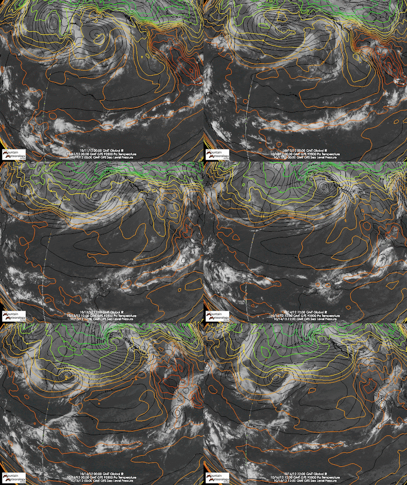
Let's use today for example. We have a cold front coming into Utah this afternoon, but we can trace the impetus for this event upstream to Japan. As can be seen below, a very weak cyclone off the coast of Japan five days ago meanders all the way across the Pacific Ocean and moves into western Canada, driving cold air into the Pacific Northwest last night. This cold air will be moving into Utah today.
 |
| 0000 UTC 11 Oct – 1200 UTC 16 Oct IR satellite imagery, sea level pressure (black contours), and low-level (925-mb) temperature (color contours). |

No comments:
Post a Comment