
Although inversion "season" doesn't begin until November 1, the reality is that we're in a pretty good inversion right now in late October.
Here are a couple cherry-picked observed temperatures at 7 am this morning:
- Salt Lake City Airport (4226 ft): 30˚F
- Snowbird SNOTEL (9177 ft): 40˚F
This morning's sounding from the airport shows a surface temperature of 32˚F. You have to go all the way up to 13,397 feet (about 600 mb) to find a colder temperature.
 |
| Source: SPC |
That's where the free-atmosphere freezing level is. You can find pockets of sub 32˚F air at the surface across northern Utah where overnight cold pools developed or cold air from the weekend cold surge persists in valleys, basins, and canyons, but beyond that, there's a mild airmass now in place.
On Monday, Alta was making snow. Look closely and you can see the guns running in Collins Gulch.
 |
| Source: Alta.com |
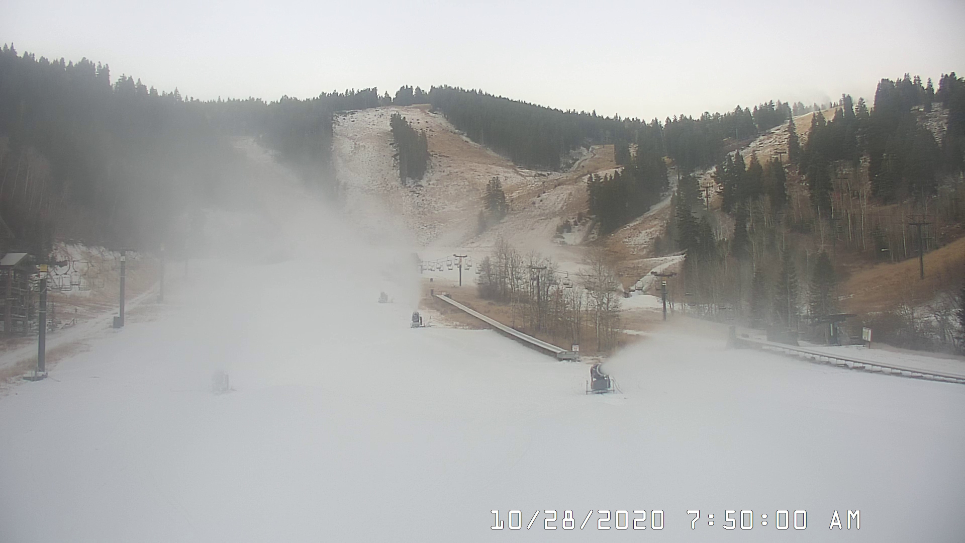
This morning? It looks like they've either given up are are doing it in localized spots.
 |
| Source: Alta.com |
Nevertheless, a few resorts are doing what they can in the cold low spots. The dryness of this airmass lends an assist since evaporation and sublimation of the droplets or ice particles created by the snow gun locally lowers the temperature.
 |
| Source: Deer Valley |
Meanwhile, haze was quite apparent in the Salt Lake Valley yesterday and PM2.5 concentrations pushed into the low-end of moderate in the Salt Lake Valley. They have dropped back down into good overnight, but I suspect we'll see moderate air quality again this afternoon.
 |
| Source: Utah Division of Air Quality |
I'm not concerned about this becoming an air pollution event like we see in winter when there's snow on the ground and the sun angles are even lower. Yesterday afternoon's sounding showed the boundary layer — the surface-based layer in which turbulence mixes pollution and other atmospheric variables — extended to about 6000 feet.
 |
| Source: SPC |
That's deeper than we see in our wintertime air pollution events.
Model forecasts through Friday show similar conditions, so we will see some haze and perhaps higher PM2.5 levels, but probably not getting above high moderate levels.
A weak frontal passage Friday night should stir things up a bit, but snow is unlikely and temperatures will not cool all that much. Weather monotony continues.
I’d bet you something that Alta might not have the water supply they need to be blaring the snow guns as much as they should be. Arapaho Basin recently posted that they were facing the same issue due to lack of summer rainfall. And they had more rain than us this summer
ReplyDeleteI was shocked looking towards heber from across the jordanelle today. I couldn’t imagine it was an inversion this early in the season.
ReplyDelete