Pretty exciting stuff happening right now over the north Pacific and Bering Sea where a powerful cyclone is disrupting the jet-stream level flow with implications for the weather of the western continental United States.
Understanding the event requires going back in time to 0000 UTC 14 September (6 PM MDT Wednesday 13 December). At this time, tropical storm Merbok was moving poleward (identified below with an L) and about to interact with a trough in the mid-latitude westerlies (red dashed line). 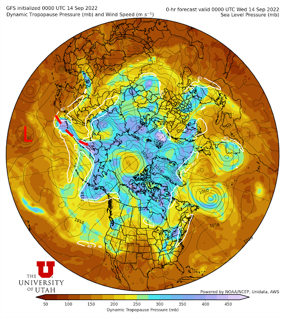
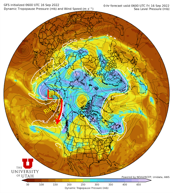
These two features got together and decided to "go off." With an assist from the upper-level trough, Merbok underwent what is known as extratropical transition, evolving from a tropical storm into a extratropical cyclone of the type found in the mid and high latitudes. It also deepened explosively to remarkably low pressures. At 0600 UTC 16 Sep (Midnight MDT last night), the cyclone was centered in the western Aleutians (L in the figure below) with a central pressure of 948 mb (average sea level presure is 1013 mb). Storms like this tend to disrupt the jet-stream level flow by building a downstream ridge that can initiate a process known as downstream development in which downstream features also amplify. Indeed, the cyclone built a strong ridge over the Bering Sea and strengthened the northerly jet downstream over Alaska.
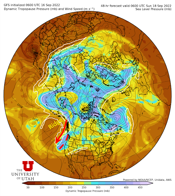
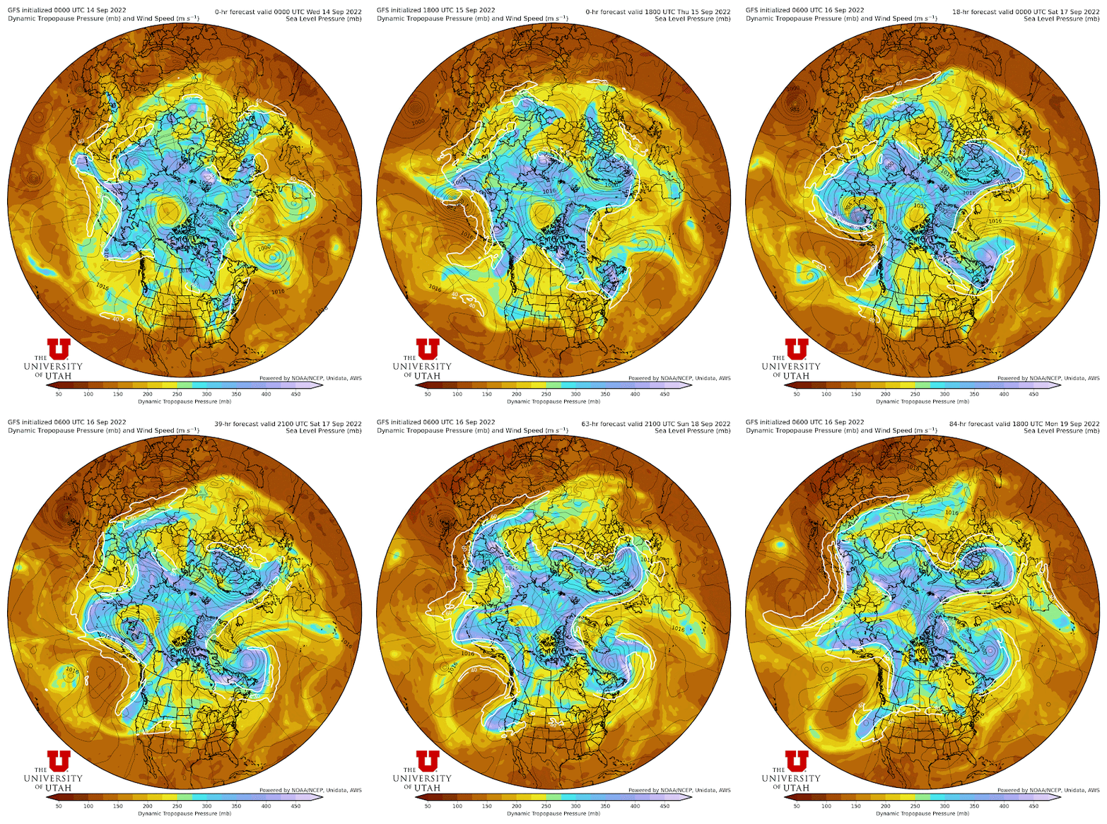
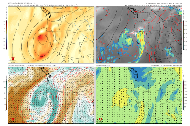
Subsequently, forecasts indicate that the ridge will broaden and move slowly downstream while the northerly jet "carves out" a deep upper level trough off the coast of California.
No comments:
Post a Comment