
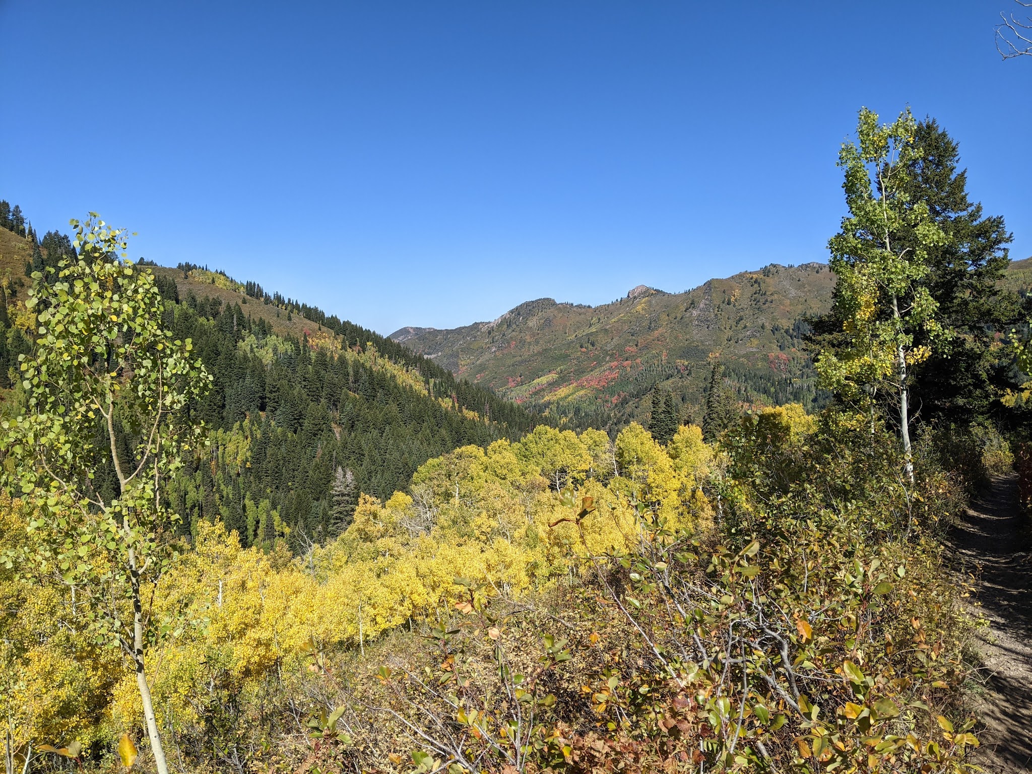
Last weekend was spectacular in northern Utah with valley high temps in the 80s, blue skies, and fall colors.
Brief change is coming in the form of a cold front and upper-level trough that will move in tomorrow. These features are, however, affecting our weather already by transporting smoke into the area, which was apparent on my ride into work this morning.

Although the trough will bring cooler weather, right now, most of the model forecasts have the precip skipping northern Utah. Below are statistics based on the 87-hour period through 1800 UTC (1200 MDT) 30 September. Mean precipitation and the probability of precipitation > 0.01" show a clear band of low values through most of western and northwestern Utah. It appears the trough will produce precipitation mainly in the northwest and then east and southeast of northern Utah where it plays with some monsoon moisture.


Most likely we will see some fits and starts of precipitation, but nothing significant. What a shame. With the start of the water year later this week on October 1, we could use some rain to start raising soil moisture levels.
Following the frontal passage, temperatures will rebound and smoke permitting next weekend looks like a good one.
No comments:
Post a Comment