What an amazing winter that we are having. Per the Alta Snow history, seasonal snowfall through yesterday was 426". Daily totals over the four days prior to that were 11", 16", 12", and 15". Looks like another six inches or so overnight too. All of this on an incredibly fat snowpack.
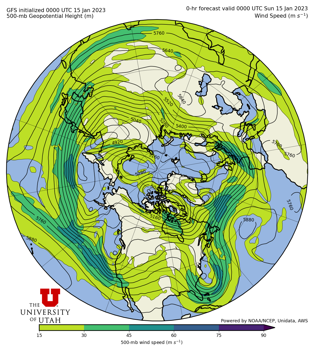
A change in the pattern is, however, underway. The parade of storms slamming into California and moving into Utah is about to come to an end. That parade of storms was associated with an extension of the Pacific Jet across the eastern Pacific and into California. An example of this pattern from 0000 UTC 15 January (5 PM MST Saturday 14 January) is shown below.
The GFS forecast for 1800 UTC (11 AM MST) Saturday, however, shows the development of a high-amplitude ridge off the Pacific Coast. Instead of extending to California, the Pacific jet moves poleward over this ridge and into British Columbia.
Utah remains in the northerly or northwesterly flow downstream of this ridge for the next several days. Cooler weather will prevail, with weaker storms sliding down the downstream side of the ridge into the western U.S. The first of these storms looks to affect northern Utah Thursday and Thursday night, although it's a weak system and we are on the northern periphery.
The second comes in slides by to our northeast over the weekend. It could be more of a Steamboat Special, giving more to the Park Range of Northern Colorado than to us.
Summarizing using the GFS-derived forecast guidance for Little Cottonwood, temperatures remain cool (near or below 17˚F at 11,000 ft) and dribs and drabs of snow occur over the next week (totaling just over 0.6" of water and 10" of snow).
Most NAEFS members are at or below 1.25" of water and 20" of snow, and I usually cut these a bit given the tendency for this product to be somewhat jacked at Alta.
Although true deep powder days may be limited at the resorts, this pattern should otherwise maintain good ski conditions over the next week. Backcountry snow conditions should remain outstanding, although clear skies might lead to some sun crusting on south aspects and there could be some wind damage in places with the trough passage over the weekend.
Without a doubt, these are minor complaints after the season so far. There are some suggestions that the ridge could be around for a while and, gulp, shift inland, but I'm not going to think such negative thoughts right now.


Sad to see this amazing pattern come to an end, I had one of my best resort days in years at Snowbird on Tuesday.
ReplyDeleteOn another note did you notice the jump in the Collins total depth from 140" to 155" in one hour on January 15th between noon and 1pm? It was an obvious error that went on for a day or so until it was fixed. After the fix however the total depth was not adjusted accordingly and now the automated Collins gauge reads 10" or so higher than reality. It is easy to see the error when you look at the other total depth readings in the canyon at noon on the 15th compared to now then compare those depth changes with Collins.
It's possible they had to raise the sensor. I'm not going to lose too much sleep over +/- 10" at this point :-).
DeleteAgree nothing to loose sleep over if it can't be fixed (I do think it is a easy fix however) but it is something that should be noted. Alta has done a great job of reporting snow over the years but something like this tarnishes their credibility a little if it is not fixed or the very least noted.
DeleteNot popular, but I’m ready for some sunshine. I think we could survive a sunny February and get back to the glorious powder days in March 😉
ReplyDelete