
Nevertheless, change is coming. We've been under the influence of a high-amplitude ridge for some time, but the ridge is shifting eastward and we're presently under the influence of mild southerly–southwesterly large-scale flow.

The transition begins on Tuesday as a weak "sacrificial lamb" trough penetrates into the southwest United States.

There could be some exciting convection as this trough moves in, although we'll have to see if it spreads into northern Utah. On the heels of sacrificial lamb trough is a much deeper upper-level trough that the latest GFS parks over Utah on Friday.

The 700-mb temperatures within the trough is below -4C, cold enough to drop snow levels to 6000 feet.
That being said, there is still some uncertainty with regards to the track and intensity of the trough, as reflected in the GEFS ensemble below. All of the ensemble members put a trough over the west, so we can be confident that change is coming, but the details of how cold and how much precip will fall in northern Utah remain uncertain.
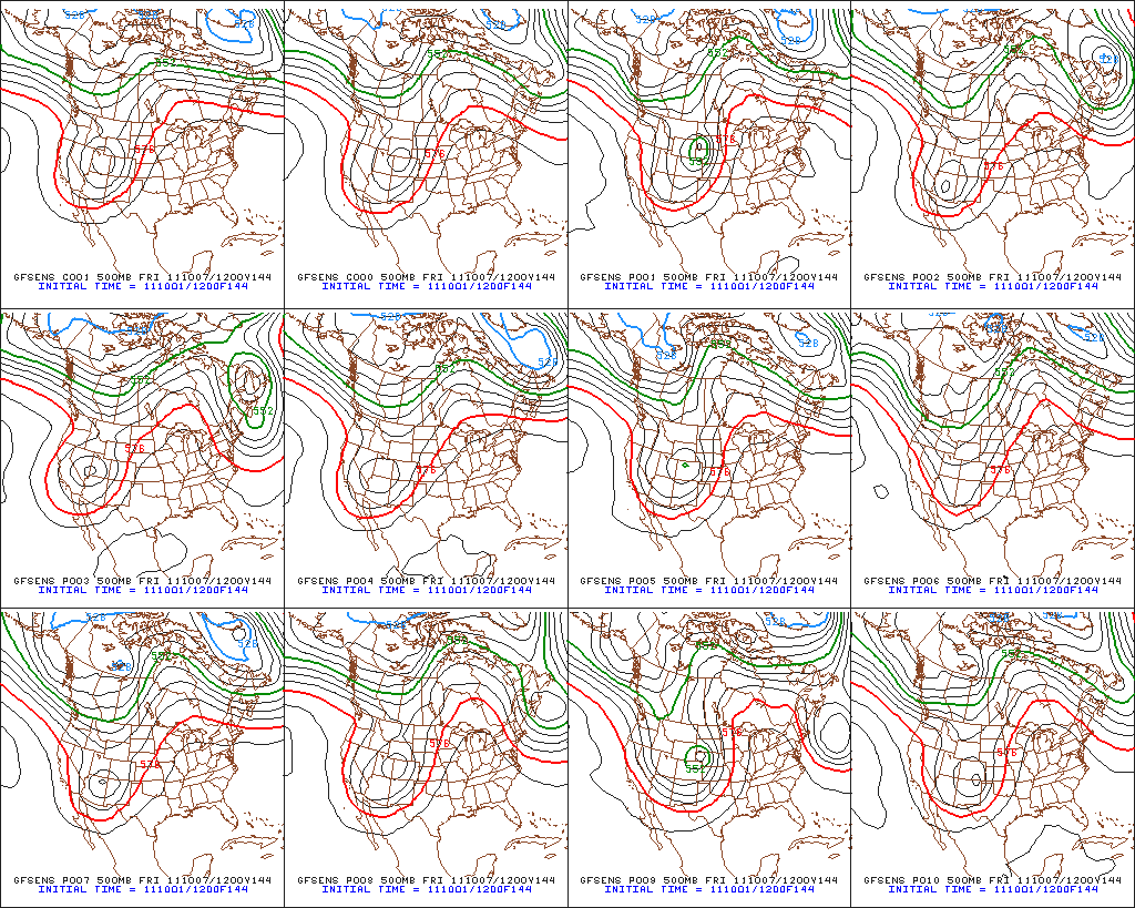 |
| Source: Penn State e-Wall |
No comments:
Post a Comment