I hope you enjoyed the cooler and somewhat snowier weather over the past week as it appears that things will be changing moving forward.
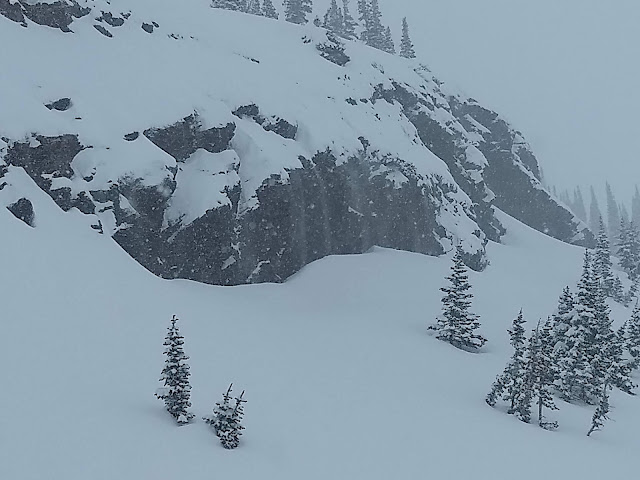
Over the past week, I finally got out and got some ski touring in and enjoyed skiing powder again. Yesterday provided a weather potpourri of low visibility and occasional snow and graupel showers with the cloud over acting to preserve the powder through the day (thankfully).
The graupel was generally light, but during one heavier period, we were treated to graupelfalls over some of the cliffs where we were touring.
The snow over the past week on upper-elevation north-facing aspects survived quite well thanks to a progression of cold troughs. Forecasts for the next week are not as optimistic. The GFS and other models forecast a strong frontal passage Monday, but without a lot of moisture.
Thus, it will be cold, but likely a dust on crust event. The remainder of the work week looks dry, with temperatures moderating during the week.
The NAEFS plume shows the vast majority of members generating 4 inches or less of snow for Alta with the Monday frontal passage. There are, however, 3 that go for 10 inches or more, so I guess there's always hope.
I'm sure we will see mountain snow at some point in April, but this coming week will probably mark a transition point in the 20/21 ski season.


No comments:
Post a Comment