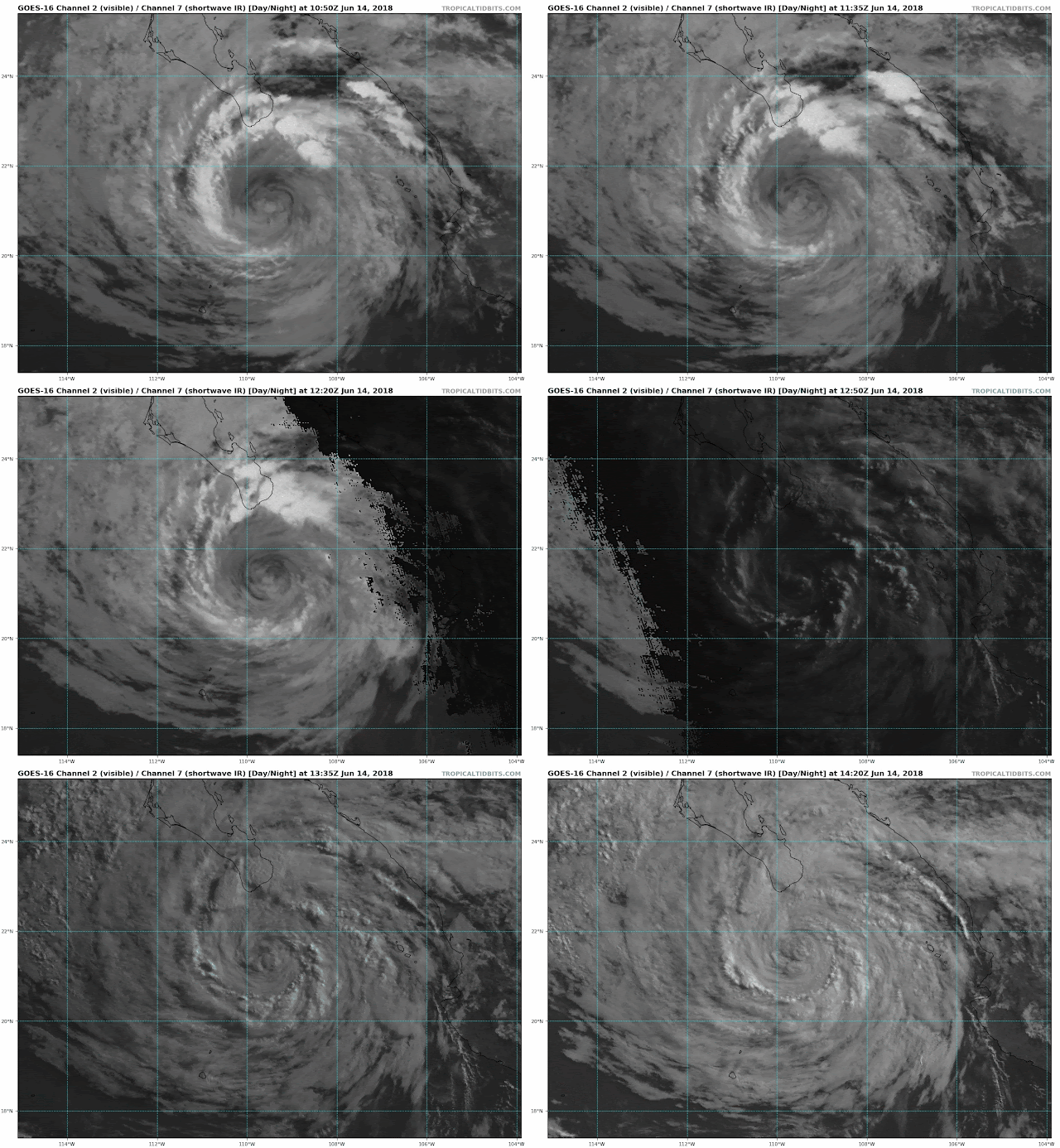
 |
| Source: tropicaltidbits.com |
The transition in the four corners area is going to be quite remarkable. Currently, a good chunk of eastern Utah and western Colorado is under red flag conditions, as illustrated by the pink shading below.
 |
| Source: NWS |
While the brief return of moisture will probably be a nice change, I'm not sure that Bud is going to bring a significant salve to the drought conditions experienced in that region. You simply can't make up for an entire winter of precipitation deficit in such a short period of time. In addition, there is potential for lightning to spark new fires. We'll have to see how this plays out, but the view that this is going to be a long fire season still holds in that region.
Meanwhile, here in northern Utah, it's a sufferfest. The minimum temperature at the Salt Lake City airport was 77ºF, which will be a record high minimum for the date if temperatures don't fall by midnight tonight.
It was a warm one last night! Thus far our "low" last night was 77°. Currently 80° at the @slcairport. Assuming it doesn't drop significantly before midnight, we'll easily smash the old record of 73°. #utwx— NWS Salt Lake City (@NWSSaltLakeCity) June 14, 2018
My dawn ride on the BST was not refreshing.


No comments:
Post a Comment