I've always said that early snow is better than late snow and this season serves as a case in point. Early snow enables a longer season, but it also falls during a period when the days are shorter and sun angles lower. Yesterday we skied mid-elevation southeast facing terrain with great powder despite temperatures reaching about 1˚C. You can't do that in March (or even February in most instances). We are fortunate this season to have a great base so early in the year. Now if we can just keep it going...
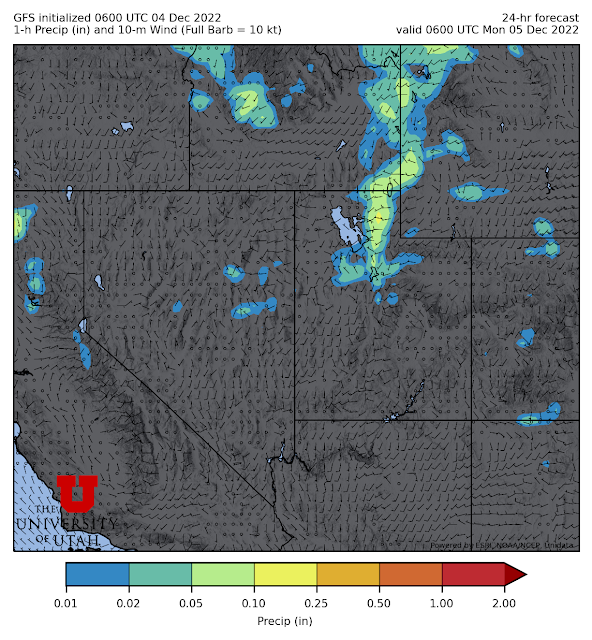
Our next shot of snow is tonight and Monday as a weak cold front passes through northern Utah and then stalls just to our south. The 0600 UTC GFS forecast valid 0600 UTC 5 December (11 PM MST Sunday) shows mountain precipitation and some light valley precipitation as the front pushes through.
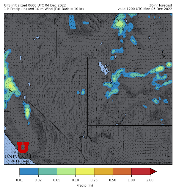
By 1200 UTC 5 December (5 AM MST Monday), precipitation associated with the front has moved southward, but still lingers over the central Wasatch.


really hoping for and looking forward to a long Steenburgh winter this season!!
ReplyDeleteI think the 180hr LCC forecast is drunk and needs to sleep it off.
ReplyDeleteWe have scheduled downtime, so the GFS product is a run old, but if you are refering to the precip generated by the one initialized at 6Z 6 Dec, let's hope it verifies.
Delete