Friday's storm brought a bit of the white stuff to the upper-elevations of the Wasatch Range, providing a boost to the morale of skiers and a nice contrast to the comparatively green grassy slopes remaining in early September.
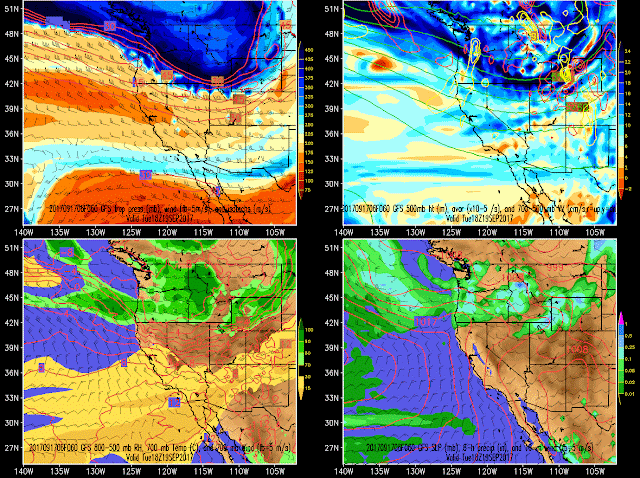
By and large, the pattern over the next several days is more October like than September like. First, we have a quick moving trough that gives us a brush-by late Monday and Tuesday. This isn't a very deep trough and it's a close call on the placement of precipitation, but it could bring some light snow accumulations to the high elevations.
Then we have a deeper trough with the attendant cold front currently progged to push through Thursday morning. This one is far enough out that we should be cautious about reading into details too much, but its a cold system for September (-4ºC at 700 mb/10,000 ft) and has some potential to give us a better coating than Friday's storm.
Then, the main upper-level trough and deep cold pocket swing through for next weekend. Temperatures definitely more like mid October than mid September.
It's been a long time since we had a stretch of weather where things were biased on the cold side of average. Enjoy!


No comments:
Post a Comment