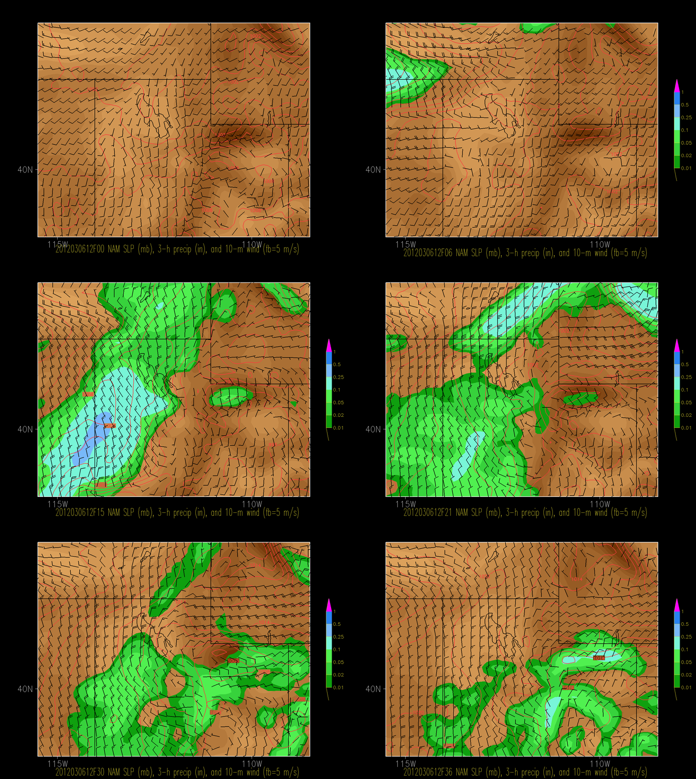
Check out how the latest NAM fills in the cold-frontal precipitation band, brings heavy precip in for the West Desert and Great Salt Lake, and gives only a few dribs or drabs for the Cottonwoods.
This occurs as the upper level trough digs southward and closes off near Las Vegas. What a teaser!
The forecast for tonight for the Cottonwoods depends very strongly on both the intensity and position of that frontal band. As forecast, they're going to get some scraps. If the frontal band shifts a bit further eastward, they will do better. This won't be a big storm unless the frontal band stalls right over them and becomes quite productive. We'll see how things shake out.


No comments:
Post a Comment