
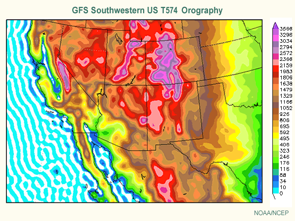
For example, the Global Forecast System (GFS) has an effective grid spacing of about 25 km. At this grid spacing, it is unable to resolve the narrow Wasatch Mountains, as well as other upstream ranges in the Great Basin.
 |
| Source: UCAR Comet |
Despite its lower resolution (compared to models like the NAM which is available at 12 and 4 km grid spacing), the GFS has consistently produced better forecasts this winter in terms of the track and timing of storms over the western United States. The challenged posed by this, however, is how to adjust the GFS for terrain effects and how much to trust the precipitation produced by the NAM when its forecast differs from the GFS.
A case in point is the forecast for tonight. Both models bring a trough through northern Utah, but differ on the details of the precipitation forecast. For the period ending at 1200 UTC (0500 MST) tomorrow, the GFS puts a band well downstream of Salt Lake roughly over it's "Uinta-satch" mountains.

In contrast, the NAM puts a band of precipitation that extends more over the southeastern Great Salt Lake and Salt Lake Valley, with a precipitation maximum near the UT-WY-CO triple point (note that in these plots, the GFS precipitation is a 6-h accumulation, whereas the NAM a 3-h accumulation).

For Alta, the NAM generates .31" of snow water equivalent through noon tomorrow (Thursday), whereas the GFS only generates .10". If we convert that water to snow using the Alcott algorithm, the NAM yields 4.7" of snow compared to only 1.4" in the GFS.
Precipitation contrasts between the NAM and the GFS are related differences in model topography, but given the deep closed low moving over the area, are probably also related to differences in the strength and timing of precipitation features (including possible lake enhancement in the NAM, which develops shortly after the time presented above). A meteorologist can perhaps make adjustments for the former, but the latter are difficult to predict with precision.
So, I see this as a difficult forecast. Given the characteristics of the storm, I lean toward something like 4–8" at Alta through noon tomorrow. That being said, I won't be surprised if accumulations are outside this window on either the high or low side. This is an instance where small-scale details that cannot be confidently predicted can make or break a storm.
So it's the old "0-to-12" forecast, huh? My favorite!
ReplyDeleteNot quite that bad, but close.
ReplyDeleteHi Jim,
ReplyDeleteI'm hearing a lot of rumbling about the MJO entering a strong Phase 7, strengthening the subtropical Jet, and possibly affecting our weather by mid-to-late February. This possibly resulting in a situation similar to what occurred in December 2010. Any thoughts on the possibility of this happening further down the road?
-Thanks
With regards to the MJO, there's some discussion at http://www.cpc.ncep.noaa.gov/products/precip/CWlink/MJO/mjoupdate.pdf.
ReplyDeleteI haven't given this much thought. Perhaps in the future I'll do some digging and perhaps a post.